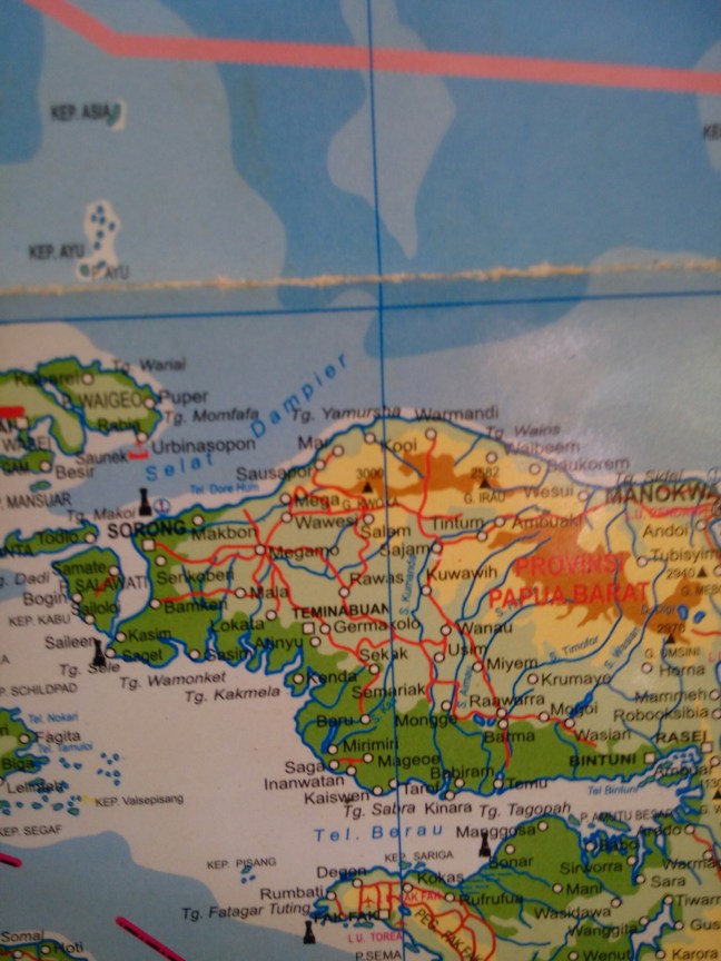
From Sorog I hitchhiked my way asking to be drooped at Ayamaru first.
Be carefully, twice I did this way (the first for some tourism, to the lakes of the region of Aitinyo, see here a bit) and twice I was driven first to Tembubian, 50km to the south.
There is a road under construction to Ayamaru junction from there , but it adds 100km…
From Ayamaru then ask to go to Susumu, where the junction of the road that goes south to Bituni, and north to Manokwary is.
I would consider this the center of the peninsula as it links the 3 big cities, but it’s just a small scattered town, no good connections yet.
From Susumu the next big town north is Ayamasi, then the last town before the mountains is Konja.
This trek shall be around 50-60km from the junction (I went back and forward so I lost count). All around this road I would suggest to make your stop before attempting the mountains. The obvious place is Konja, as from there is only a 10-20min ride to the bridge that starts everything.
You can also directly ask for Manokwary road, you will get strange looks but it might work 😀
For accommodation don’t worry, walk around and somebody will offer, or your hitch, if you hitchhiked, will be more than exited to have you over. If not ask around politely and you will find a place and probably be fed. And of course if you bring your tent or hammock it’s always easy to find a roof in case it rains. Is not cold at all.
Well if you are attempting this craze I guess you already know that 🙂
I was invited to Kumurkek to sleep, south of Ayamasi, so on Sunday that nobody drives there and I had to walk my way quite a lot until the mountains. Still I got 3 rides, one special one in which half the small town of Man rode me to the bridge to enjoy the spectacle of a Buleh (westerner) walking alone up a 3km long 30% slope carting 15kg.
The road until there is good, with its bigger or smaller potholes to remind you where you are.
After that bridge what is the welcoming of the adventure. Thank you.